st luke's parish
St Luke’s parish is in the south-west of Formby. It lies between the sea to the west and the Liverpool to Southport railway line to the east, and is to the south of the centre line of Wicks Lane. The parish is officially the least deprived in Liverpool diocese, although many people feel that that accolade should go to a neighbouring parish.
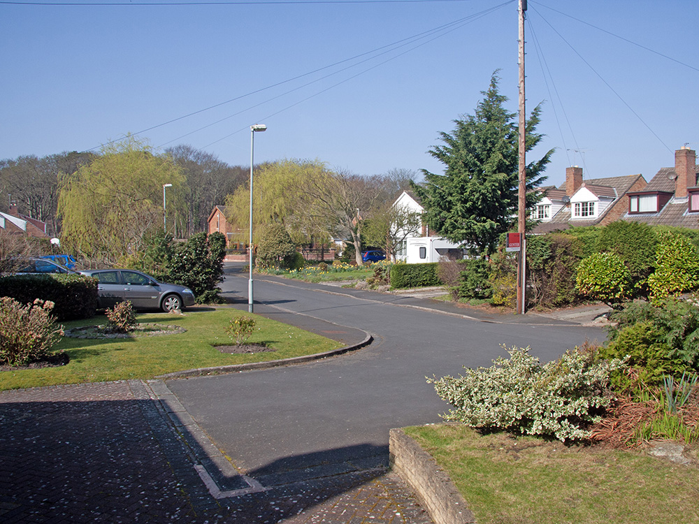
The parish can be divided into two distinct parts, with St Luke’s church on the division between the parts. To the east of the church are homes, schools and some businesses. The picture is of a street fairly close to St Luke’s.
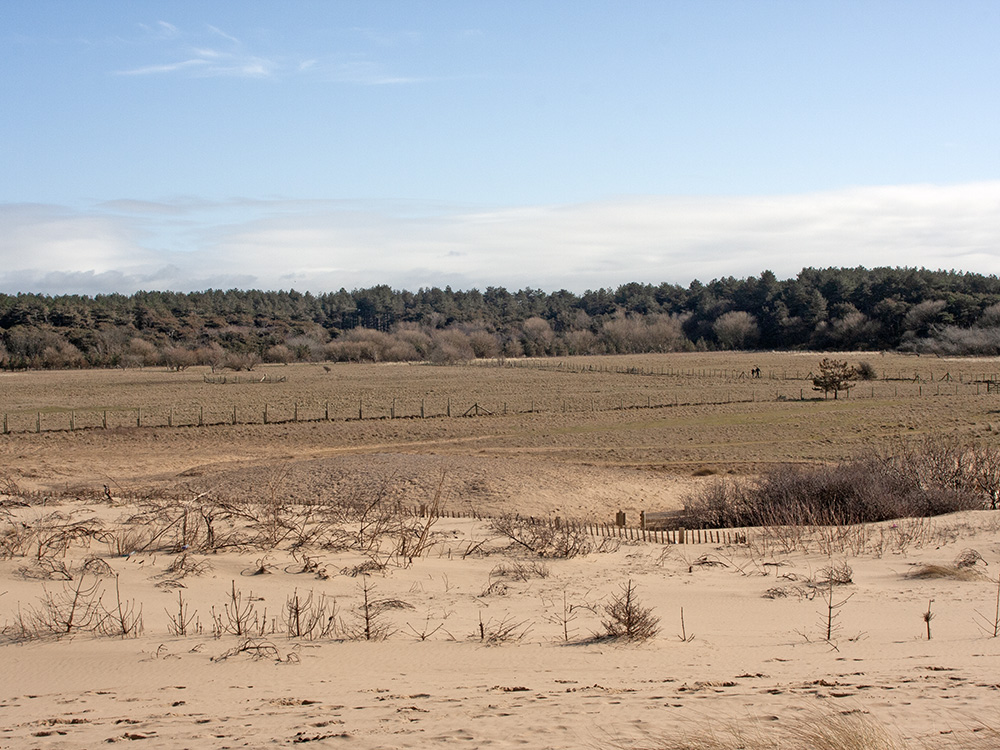
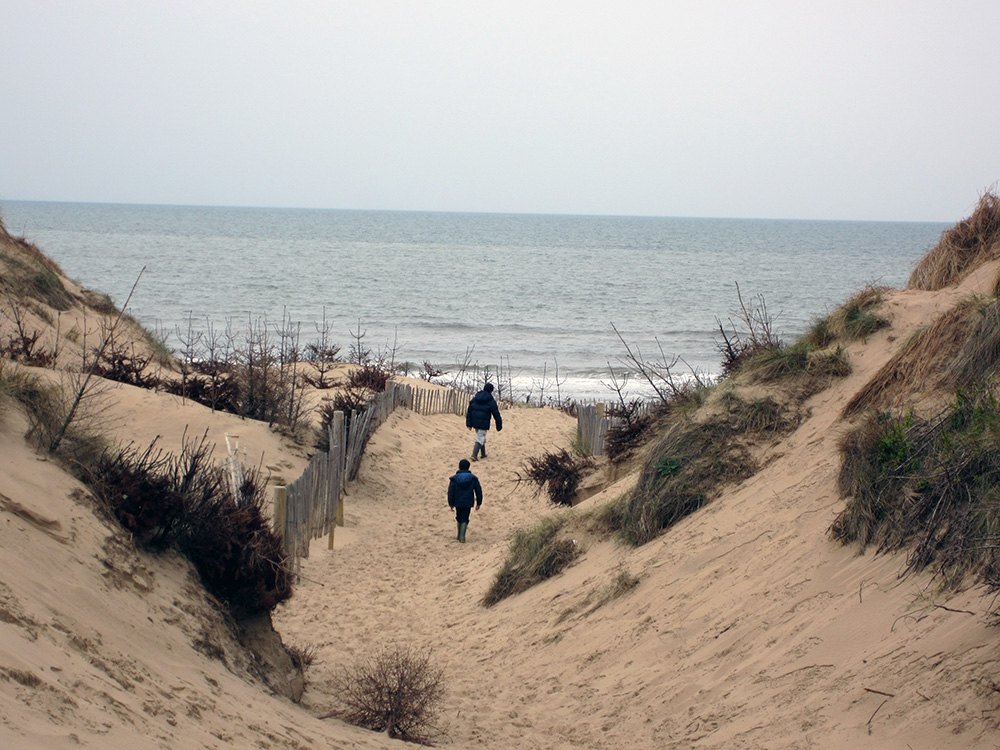
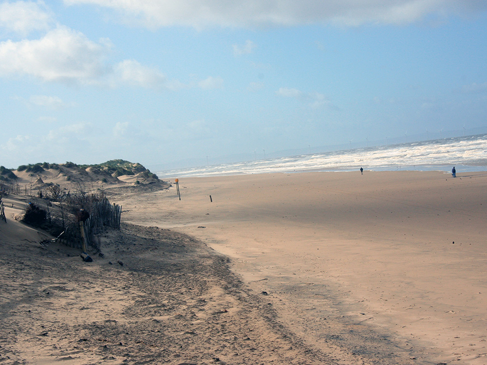
To the west of the church and on the north side of Lifeboat Road the National Trust care for a belt of fir trees, open scrubland and sandhills leading onto a beach with, we are told, good quality bathing water. The Liverpool to Preston section of the King Charles III England Coastal Path passes through the parish between the church and sea.
Schools in St luke's parish
St Luke’s parish contains 3 primary schools and one secondary school. The church is very closely linked with one of the schools - St. Luke’s Church of England Primary School. Matt, our vicar, regularly visits the school to take assemblies and as part of his wider ministry, and the church has four foundation governors.
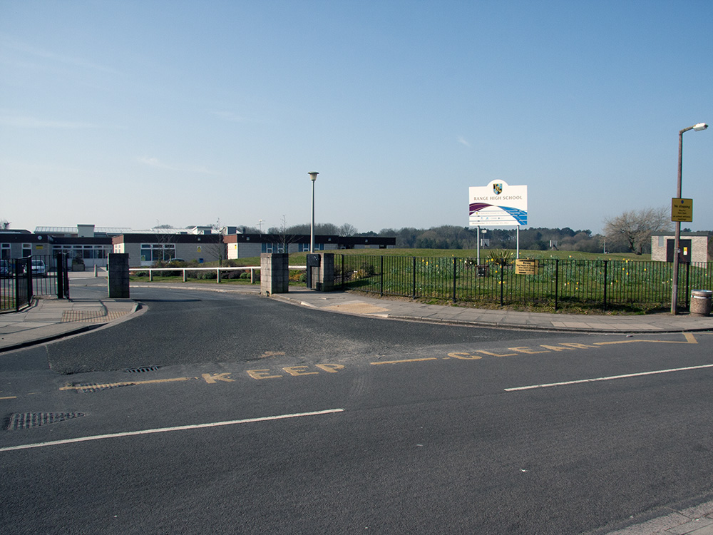
We have some links with Range High School, see the picture taken from the road, with one person from St. Luke’s acting as a liaison to the school. In the past we have taken two fifth form students to Rwanda and the school works to support Groupe Scolaire in Shyira, Rwanda.
Two other primary schools in the parish are St. Jerome’s, a Roman Catholic school and Woodlands, a state school.